Content
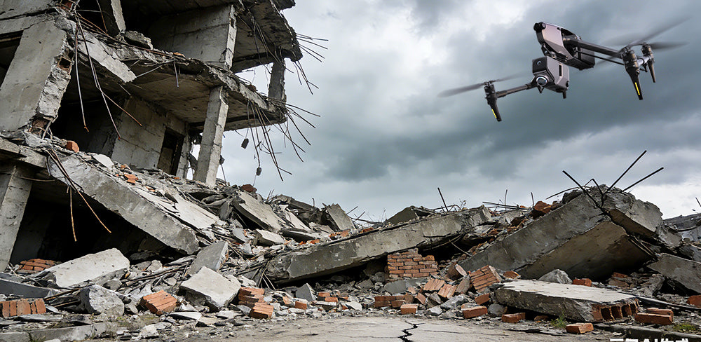
When natural disasters strike, the critical factor for recovery often lies in timely and accurate information. Traditional surveying methods can be slow and hazardous, making it difficult for first responders and engineers to assess damage effectively. The 3DMakerpro Eagle transforms this process by providing advanced SLAM technology that delivers precise digital data when it's needed most.
a) Assessment After Earthquakes and Aftershock Analysis
In the immediate aftermath of an earthquake, buildings may appear intact but can be structurally compromised, posing significant safety risks to assessors. The 3DMakerpro Eagle allows engineers to create digital twins of structures quickly, capturing dense point clouds at a speed of 200,000 points per second. This high precision, with an accuracy of 2 cm at 10 meters, enables experts to detect subtle deformations and shifts that would otherwise go unnoticed.
As aftershocks can further jeopardize already weakened structures, rapid reassessment is vital. The Eagle’s ability to provide real-time data helps engineers determine whether buildings are safe for entry post-earthquake. This swift evaluation facilitates quicker planning for remediation efforts, thereby prioritizing community safety and minimizing risks associated with aftershocks.

b) Post-Fire Investigation and Reconstruction
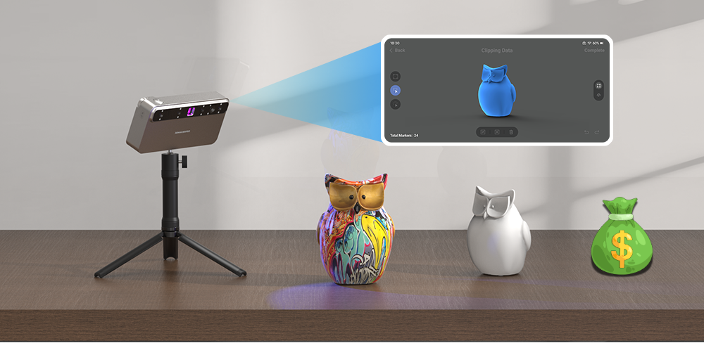
Fire scenes are often complex, filled with hazardous debris and unstable remnants, making digital preservation essential for analysis. The Eagle Max excels in these scenarios by combining geometric data with photorealism, capturing 8K panoramic textures as the operator navigates the site. This high-fidelity visual data overlay helps investigators distinguish different materials and pinpoint the fire's origin long after the physical debris has been cleared.
Moreover, digital recording of fire scenes aids in insurance assessments and legal investigations. By utilizing advanced imaging capabilities, investigators can create a reliable digital record that enhances understanding and accountability, helping to unravel the intricacies of fire incidents for future prevention and analysis.

c) Mapping Mudslides and Landslides
Landslides can drastically change the landscape, leaving slopes unstable and prone to additional hazards. Effective surveying of these altered terrains requires a robust scanning solution, and the Eagle Max offers impressive capabilities. With a scanning radius of up to 70 meters and a range of up to 140 meters in specific conditions, it allows for comprehensive mapping of displaced earth from a safe distance.
The Eagle’s expansive 360° horizontal and 59° vertical field of view ensures thorough capture of the affected area and surrounding topography in a single pass. This detailed mapping is crucial for understanding the extent of damage and aids in planning effective mitigation strategies to prevent future incidents.

d) Assessing Flood Damage
Flooding presents unique challenges, with extensive damage to infrastructure and property that requires immediate attention. The Eagle's rapid scanning capabilities help responders quickly assess the extent of water-related damage and prioritize recovery efforts. High-resolution imaging allows for clear documentation of water levels and affected structures, providing valuable insight to streamline response strategies.
In cases where ground access is limited, the Eagle’s portability and efficiency enable effective assessment of hard-to-reach areas. By facilitating aerial surveys and providing quick, accurate data, the device enhances the ability of teams to manage flood-related disasters effectively.

The 3DMakerpro Eagle stands out as an invaluable tool for disaster relief, offering speed and safety in critical situations. By integrating long-range sensing, high-precision measurement, and flexibility in deployment, it empowers response teams to visualize damage and rebuild with confidence. As natural disasters become more frequent, technologies like the Eagle will play a pivotal role in effective relief and mitigation efforts, transforming how we address and recover from these events. (Real user experiences)


Featured collection
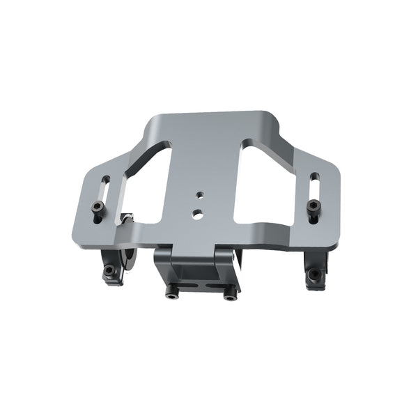
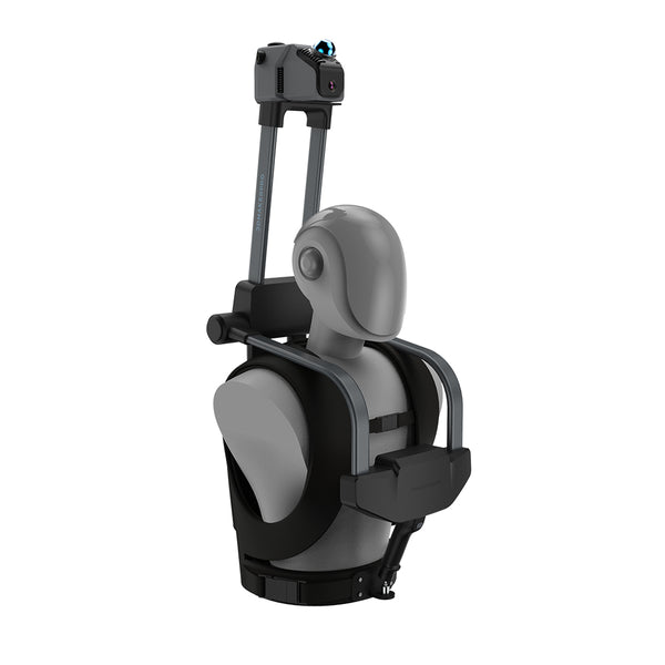
LiDAR scanner
Eagle LiDAR Scanner
Bicycle Kit


