Content

In the worlds of industrial design, engineering, and construction, precision is usually non-negotiable. However, obtaining that precision often comes at a high price: physical risk to the operator. For decades, surveyors and engineers have relied on manual tools—calipers, tape measures, and handheld devices—that require them to be physically present in the danger zone.
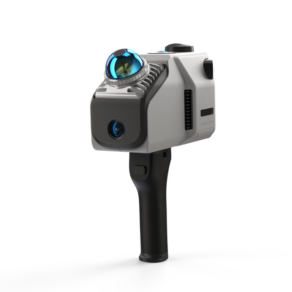
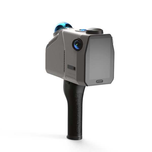
The industry is now shifting toward contactless solutions. By utilizing advanced spatial scanners like the 3DMakerpro Eagle Lidar Scanner, teams can capture millimeter-accurate data from a safe distance. Because the Eagle is a compact, lightweight unit (approximately 1.5kg), it is uniquely capable of being mounted on heavy-lift drones (provided the drone meets the payload requirements). This combination allows professionals to capture the world from the sky, keeping their feet safely on the ground.
Here are four scenarios where replacing manual measurement with remote 3D scanning is saving lives and revolutionizing workflows.
1. Skyscraper Facade Inspection and Maintenance
Maintaining the exterior of high-rise buildings is traditionally one of the most dangerous jobs in the world. Workers typically rely on suspended scaffolding or rope access to measure window dimensions or inspect cladding for stress cracks. This exposes them to high winds and potential equipment failure at dizzying heights.
By mounting the Eagle Lidar scanner on a drone capable of carrying a 1.5kg payload, teams can fly vertically along the building's exterior. The Eagle effectively "sees" the façade, capturing precise geometry without a human ever leaving the ground. Once the flight is complete, the raw data is imported into Ray Studio Software to create a precise digital twin, allowing engineers to plan repairs or fabrication without risking a fall.

2. Post-Disaster Structural Assessment
In the aftermath of an earthquake, landslide, or fire, the environment is chaotic and unstable. Assessing a damaged building or a debris field manually is incredibly risky; aftershocks or weakened supports can lead to secondary collapses, putting engineers and rescue teams in immediate danger.
Remote scanning offers a life-saving alternative. A drone equipped with the Eagle can fly over or into damaged structures to capture a digital twin of the site. Because the Eagle utilizes advanced SLAM (Simultaneous Localization and Mapping) technology, it can orient itself and scan without needing pre-placed markers. This allows engineers to measure the volume of debris or the tilt of a wall from a safe distance, processing the data in Ray Studio Software to determine if it is safe for rescue teams to enter.

3. Bridge and Dam Infrastructure Checks
Bridges and dams are often located in difficult terrain—spanning deep gorges or rushing water. Inspecting the underside of a bridge usually requires specialized "snooper trucks" or dangerous rappelling techniques. These methods are slow, expensive, and physically exhausting for the inspectors.
With the Eagle’s ability to capture details with up to 0.02mm accuracy, a pilot can maneuver the scanner underneath bridge arches or along dam walls to scan for micro-fractures or corrosion. This contactless method gathers comprehensive data that is then analyzed in Ray Studio Software. It provides engineers with actionable insights to plan maintenance without hanging precariously over open water.

4. High-Heat Industrial Smokestacks
In heavy industry, inspecting smokestacks, flare stacks, or cooling towers presents a dual threat: extreme height and hazardous output (heat or toxic fumes). Manual measurement is often impossible while the machinery is active, requiring costly shutdowns to allow workers to approach safely.
Using a remote carrier equipped with the Eagle allows for "hot" inspections. The scanner can be flown to the top of the stack to measure structural degradation while the plant is still operational. This keeps human operators far away from toxic emissions. The captured point clouds are then aligned and textured in Ray Studio Software, ready to be used to predict the remaining lifespan of the infrastructure.

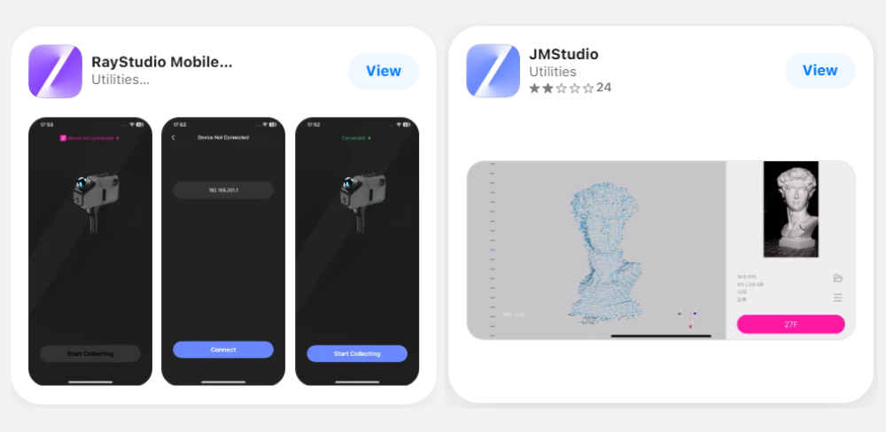
The Power Behind the Scan: Ray Studio Software
Hardware is only as good as the software that drives it. To process the complex data captured in these high-risk environments, the Eagle pairs with Ray Studio Software.
-
SLAM Technology: As detailed in 3DMakerpro's guide on SLAM, the Eagle uses this technology to stitch data together in real-time while moving—essential for mobile scanning operations.
-
3D Gaussian Splatting: Ray Studio Software supports advanced visualization techniques. As explained in the Gaussian Splash function blog, this allows for incredibly realistic rendering of the scanned environment, making it easier to interpret complex data visually.
- Seamless Workflow: Ray Studio acts as the bridge, processing raw data so it is ready for export to third-party engineering tools like Blender, Maya, or CAD software.

The future of measurement is not just about precision; it is about accessibility and safety. By combining the high-accuracy capabilities of the 3DMakerpro Eagle with remote operation methods, we can measure the unmeasurable—ensuring that data is captured accurately while workers stay safe.
Featured collection
LiDAR scanner
Eagle LiDAR Scanner
Automotive Rooftop Mount


