Content

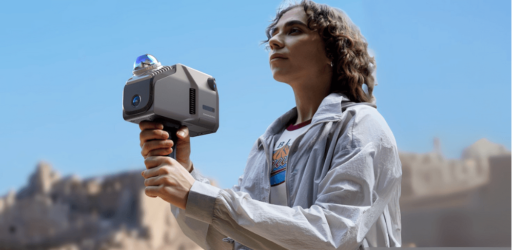
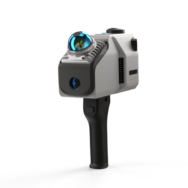
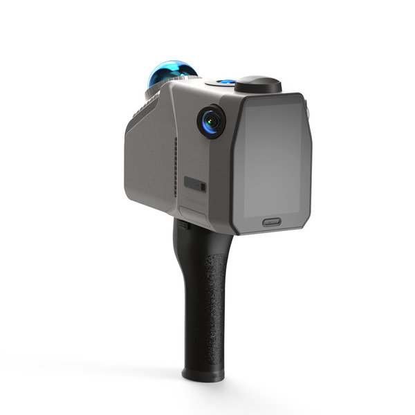
In the dynamic world of architecture and construction, precision and efficiency are paramount. As the industry embraces digital transformation, innovative technologies like spatial LiDAR (Light Detection and Ranging) are revolutionizing how we plan, design, and execute projects. Spatial LiDAR technology offers unparalleled accuracy in capturing three-dimensional data, making it an invaluable tool for architects, engineers, and construction professionals. Among the leading innovations in this domain is the EAGLE LiDAR 3D Scanner, a sophisticated device that sets new benchmarks in surveying and data collection.
Key Applications in Architecture and Construction
1.Site Surveying and Analysis
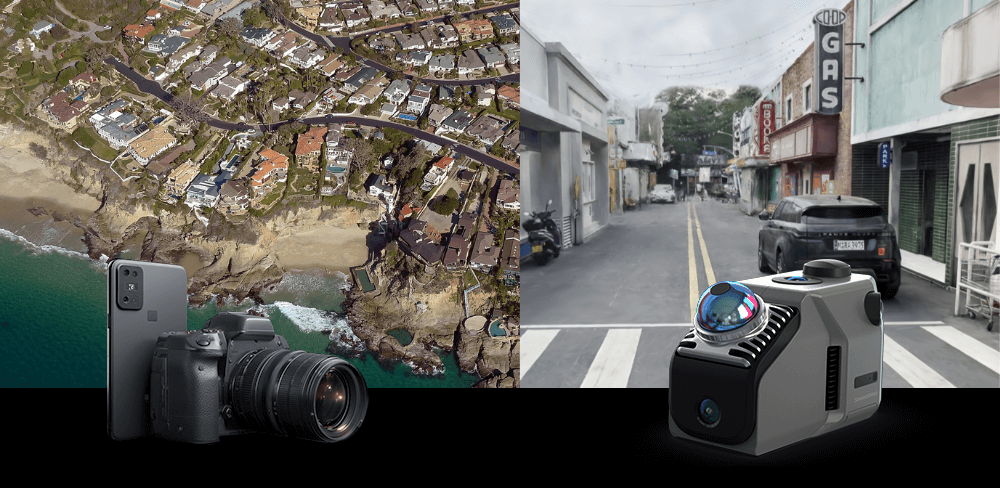
Spatial LiDAR technology excels in capturing detailed topographical data, allowing professionals to create accurate site maps and models. This capability is crucial for assessing terrain, identifying potential challenges, and optimizing site planning. The EAGLE LiDAR 3D Scanner, with its impressive up to 140-meter scan range, ensures expansive areas are captured with precision, aiding in thorough site analysis.
Example: Street Planning: The Eagle LiDAR scanner has a single scan radius of 70 meters (with 80% reflectivity) and can capture motion data at speeds up to 20 km/h. It can efficiently scan large areas (150 meters x 150 meters) in 5 minutes, significantly enhancing engineers' ability to accurately collect street data for urban road planning and maintenance. With related modeling software, users can easily perform 3D modeling, analysis, and optimization of street layouts.

2. Building Information Modeling (BIM)
BIM relies heavily on accurate data to create digital representations of physical structures. The EAGLE LiDAR 3D Scanner leverages SLAM (Simultaneous Localization and Mapping) and GPS technologies to enhance BIM capabilities. By constructing environmental models through SLAM, and utilizing environmental features for real-time localization and scanning, the EAGLE ensures accurate modeling even in complex indoor multi-route and multi-level spaces. This technology enables architects and engineers to visualize and manipulate building elements with unprecedented clarity.
Example: Building Construction Surveying: The Eagle LiDAR scanner's accuracy of 2cm at 10m, 3cm at 20m, and 5cm at 40m ensures the reliability of the collected data, suitable for high-precision design and surveying tasks. It can perform quick, high-precision measurements on construction sites, helping architects and engineers document and compare construction progress.

3. Construction Monitoring and Progress Tracking
Keeping track of construction progress is vital for ensuring projects stay on schedule and within budget. The EAGLE LiDAR 3D Scanner, with its lightweight and portable design, offers quick and efficient scans, reducing downtime and providing real-time data on construction status. Its versatile indoor/outdoor scanning capability, combined with a long battery life of 12,000 mAh for up to 60 minutes of scanning, makes it easy to monitor various environments and phases of construction.
4. As-Built Documentation
Accurate as-built documentation is essential for future renovations, maintenance, and facility management. Spatial LiDAR captures detailed information about the built environment, including structural details, color, and texture. The EAGLE's advanced data processing capabilities, such as 3D Gaussian Splatting, transform visual elements into precise data, ensuring comprehensive as-built records. The high-resolution 48MP cameras with wide-angle coverage capture every detail, making it ideal for preserving and documenting historical buildings.

5. Historical Preservation and Restoration
Preserving and restoring historical buildings require meticulous attention to detail. Spatial LiDAR technology allows for precise documentation of intricate architectural features, ensuring that every element is accurately captured. The EAGLE's high-resolution 48MP cameras, with wide-angle coverage and up to 8K Ultra Imaging, excel in documenting historical structures, aiding in their preservation and restoration. The scanner's versatility in both indoor and outdoor environments further enhances its capability to document and restore historical sites comprehensively.

Conclusion
The integration of Spatial LiDAR technology in architecture and construction is transforming the way professionals approach projects. The EAGLE LiDAR 3D Scanner, with its cutting-edge features and capabilities, is at the forefront of this transformation. From site surveying and BIM to construction monitoring and historical preservation, the EAGLE empowers professionals to achieve new levels of precision and efficiency, paving the way for smarter, more sustainable building practices. As the industry continues to evolve, embracing technologies like the EAGLE LiDAR 3D Scanner will undoubtedly drive innovation and excellence in architecture and construction.

Featured collection
LiDAR scanner
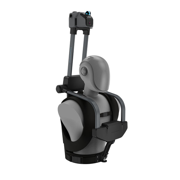
Eagle LiDAR Scanner
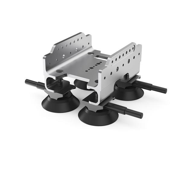
Automotive Rooftop Mount


