
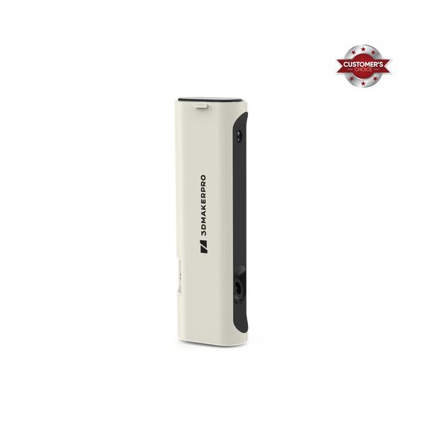
In the rapidly evolving realms of architecture, engineering, and construction (AEC), the integration of spatial LiDAR (Light Detection and Ranging) scanners, such as the Eagle LiDAR Scanner, with Building Information Modeling (BIM) has revolutionized project development. This powerful synergy not only enhances accuracy but also streamlines workflows, leading to more efficient, cost-effective, and sustainable projects. In this blog, we will explore the intricate relationship between spatial LiDAR scanners and BIM models, highlighting their myriad benefits, diverse applications, and promising future potential.
What is LiDAR?
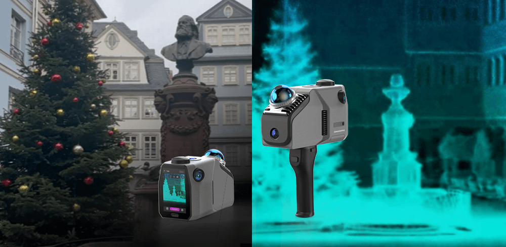
LiDAR technology employs laser pulses to measure distances, creating highly detailed 3D representations of environments. By emitting thousands of laser pulses per second, LiDAR scanners can generate a point cloud—a dense collection of data points that accurately depict the physical characteristics of the scanned area. This technology is not only fast but also incredibly precise, making it suitable for a wide range of applications, from surveying and mapping to environmental monitoring and infrastructure inspection.
What is BIM?
Building Information Modeling (BIM) is a digital representation of a building's physical and functional characteristics. It encompasses the entire lifecycle of a project, from initial design and construction to operation and maintenance. BIM models are rich in information, integrating data about materials, dimensions, costs, timelines, and more. This holistic approach facilitates collaboration among stakeholders, enabling informed decision-making throughout the project's lifecycle.
The Synergy Between LiDAR and BIM
1. Enhanced Accuracy and Detail
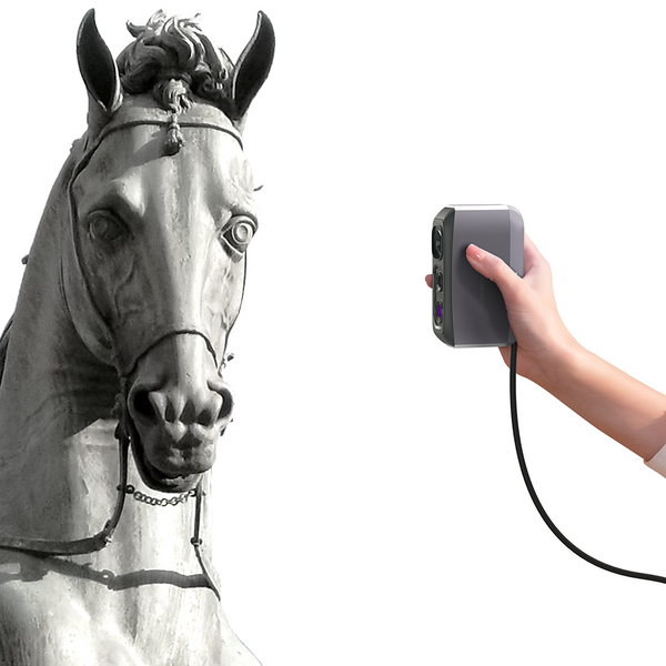
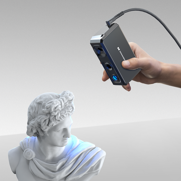
One of the most significant advantages of utilizing spatial LiDAR scanners alongside BIM is the unparalleled accuracy and detail they provide. The Eagle LiDAR Scanner, for instance, supports an impressive accuracy of 2 cm at 10 m, 3 cm at 20 m, and 5 cm at 40 m. This level of precision ensures that the data collected is reliable and suitable for design and surveying applications that demand high accuracy. LiDAR captures intricate details of existing conditions, allowing for precise measurements that can be directly imported into BIM models. This accuracy is especially crucial in renovation, restoration, and retrofitting projects, where understanding the existing structure is vital to success.
2. Rapid Data Collection
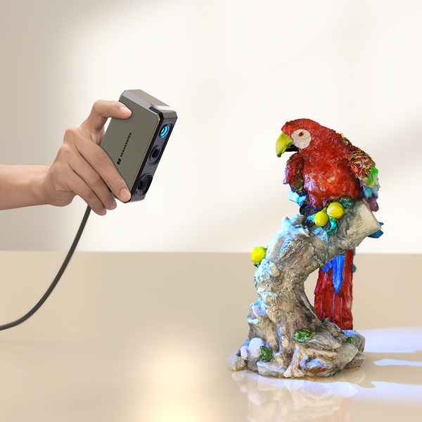
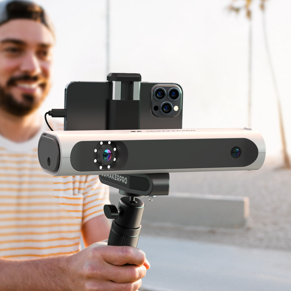
LiDAR technology enables rapid data collection over extensive areas, significantly reducing the time required for traditional surveying methods. The Eagle LiDAR Scanner can scan large scenes (150 m x 150 m) in less than 5 minutes, greatly improving work efficiency. This efficiency allows architects, engineers, and contractors to focus on analysis, design, and execution rather than spending excessive time on data gathering. The fast-paced nature of modern construction demands such efficiency, making LiDAR an essential tool in the AEC arsenal.

3. Seamless Integration
Modern BIM software is designed to support the import of point cloud data from LiDAR scans seamlessly. The Eagle LiDAR Scanner supports multiple output formats, including color point cloud PLY and panoramic roaming PNG+OBJ, facilitating smooth integration into BIM models. This capability allows teams to overlay scanned data onto the BIM model, facilitating real-time visualizations and comparisons between the digital model and actual site conditions. The ease of integration promotes a more cohesive workflow, enabling teams to identify and resolve discrepancies early in the design process.

4. Improved Collaboration
The combined use of LiDAR and BIM enhances collaboration among various stakeholders. Architects, engineers, and construction managers can access the same accurate data, reducing miscommunication and ensuring that everyone is aligned throughout the project. This collaborative environment fosters better decision-making and problem-solving, ultimately leading to improved project outcomes.
Applications of LiDAR and BIM Integration
1. Renovation and Restoration Projects
In renovation and restoration projects, comprehending the existing structure is paramount. The Eagle LiDAR Scanner provides detailed insights into the condition of the building, which can be directly incorporated into the BIM model. This approach minimizes surprises during construction and allows for more accurate cost estimates, enabling project teams to manage budgets effectively and mitigate financial risks.
2. Site Analysis and Planning
Accurate site analysis is crucial before construction begins. LiDAR can capture topography, vegetation, and existing infrastructure, which can then be integrated into the BIM model. The Eagle LiDAR Scanner's capability for large scene scanning, combined with its multi-viewpoint capture options (first-person, overhead, and 45-degree overhead), assists architects and planners in making informed decisions about site layout, design, and potential environmental impacts, ultimately leading to more sustainable practices.

3. Facilities Management
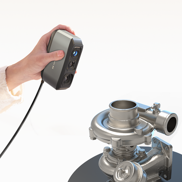
Once a building is constructed, efficient maintenance is essential for longevity and cost-effectiveness. By integrating LiDAR scans with the BIM model, facilities managers can track the building’s condition and plan for maintenance proactively. The Eagle Scanner’s support for GPS data positioning and real-time scanning in complex environments ensures accurate modeling of intricate indoor spaces, making it easier to manage facilities effectively.
4. Construction Monitoring
During the construction phase, LiDAR can be employed to monitor progress and compare it to the BIM model. The Eagle LiDAR Scanner’s rapid motion capture speed of up to 20 km/h allows for quick assessments of construction progress. This capability allows teams to identify discrepancies early, reducing the risk of costly errors and delays. By continually assessing the project's alignment with the BIM model, teams can maintain schedule adherence and ensure quality control throughout the construction process.

The Future of LiDAR and BIM Integration
As technology continues to advance, the integration of spatial LiDAR scanners like the Eagle LiDAR Scanner and BIM models is poised to become even more sophisticated. Innovations such as real-time data processing, enhanced visualization tools, and improved machine learning algorithms will further enhance the capabilities of this powerful combination. Moreover, as the demand for sustainable and efficient building practices grows, the ability to accurately assess and manage building performance through integrated LiDAR and BIM will be invaluable.
The potential for automation in data collection and analysis, coupled with the rise of smart building technologies, will likely lead to even greater efficiencies in the AEC industry. As virtual and augmented reality (VR/AR) tools become more prevalent, the integration of LiDAR and BIM can create immersive experiences for stakeholders, allowing for better visualization and understanding of projects before they are built.
Conclusion
The integration of spatial LiDAR scanners, such as the Eagle LiDAR Scanner, with BIM models represents a significant advancement in the AEC industry. By enhancing accuracy, improving collaboration, and streamlining workflows, this powerful combination is transforming the way projects are designed, constructed, and managed. With features like ultra-clear 8K HDR imaging, high precision, and rapid scanning capabilities, the Eagle scanner sets a new standard in LiDAR technology. As we look to the future, embracing these technologies will be essential for professionals seeking to deliver high-quality, efficient, and sustainable projects. Whether you are an architect, engineer, or construction manager, understanding the benefits of LiDAR and BIM integration is crucial in navigating the evolving landscape of the built environment. With these tools at our disposal, the possibilities for innovation in construction and design are limitless.


