



Content
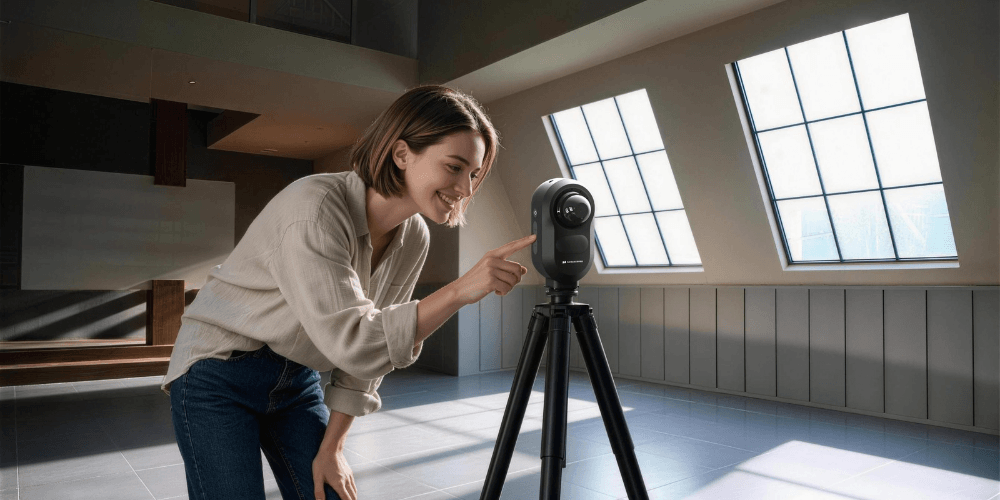
How do you “copy and paste” a massive stadium, a historic museum, or an entire airport into a computer? Tape measures are way too slow, and standard cameras can’t capture true 3D depth. The secret weapon for digitizing the real world is a futuristic device known as the Stationary LiDAR Scanner. Think of it as a super-powered, 360-degree radar that maps physical spaces using lasers. But what exactly is this tech, and how does it manage to capture reality with such crazy precision? Let’s dive into the fascinating science behind the ultimate 3D capture tool.
1. What Exactly is a Stationary LiDAR Scanner?
To truly appreciate this technology, we need to look past its sleek exterior. The acronym LiDAR stands for Light Detection and Ranging. You can think of it as the optical cousin of Radar (which uses radio waves) or Sonar (which uses sound). Instead of sound or radio, LiDAR uses focused beams of light to measure the world.
In the professional surveying industry, a stationary LiDAR scanner is often referred to as a Terrestrial Laser Scanner (TLS). While LiDAR sensors are increasingly found on self-driving cars, flying drones, or even on the back of your latest iPhone, a stationary scanner is a completely different beast. It is a highly specialized, industrial-grade instrument designed to sit perfectly still on a heavy-duty tripod.
If you were to look inside the casing of a stationary scanner, you wouldn't just find a simple camera lens. You would discover a masterpiece of optomechanics: a powerful laser emitter, an incredibly sensitive photodetector (to catch the returning light), an ultra-fast spinning mirror, and an array of high-resolution cameras. It is not just passively taking a picture; it is actively and aggressively probing the physical geometry of the space around it.

2. The Science of Scanning: How Does It Work?
The process of turning a physical room into a digital 3D model feels like magic, but it relies on a beautiful combination of physics, mechanics, and computational geometry. Here is the step-by-step breakdown of how a stationary scanner pulls off this feat:
Step 1: The Laser Firing and the “Stopwatch”
When you hit the start button, the scanner’s internal emitter begins firing invisible, eye-safe laser pulses into the environment. We are not talking about a few beams—modern scanners fire anywhere from 500,000 to 2 million laser pulses every single second.
When a pulse hits a surface (like a concrete pillar or a glass window), it reflects back to the scanner’s sensor. To calculate the distance, the scanner uses a principle called Time of Flight (ToF). Since the speed of light is a constant (roughly 300,000 kilometers per second), the scanner features a microscopic, ultra-precise internal stopwatch. It measures the exact fraction of a nanosecond it takes for the light to leave the device, bounce off the wall, and return. Using the formula Distance = (Speed of Light × Time) / 2, it pinpoints the exact location of that surface.
Step 2: The Mechanical Dance
If the laser only fired straight ahead, you would just measure a single dot. To capture the entire room, the scanner employs a clever mechanical trick. Inside the spinning head of the device, there is a specialized mirror rotating vertically at dizzying speeds. This deflects the laser up and down, capturing everything from the ceiling to the floor. Simultaneously, the entire body of the scanner slowly rotates horizontally 360 degrees on its base. This synchronized “dance” ensures that the laser sweeps across every visible inch of the space in a complete dome.
Step 3: Creating the “Digital Ghost” (The Point Cloud)
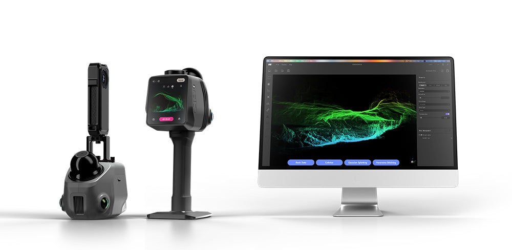
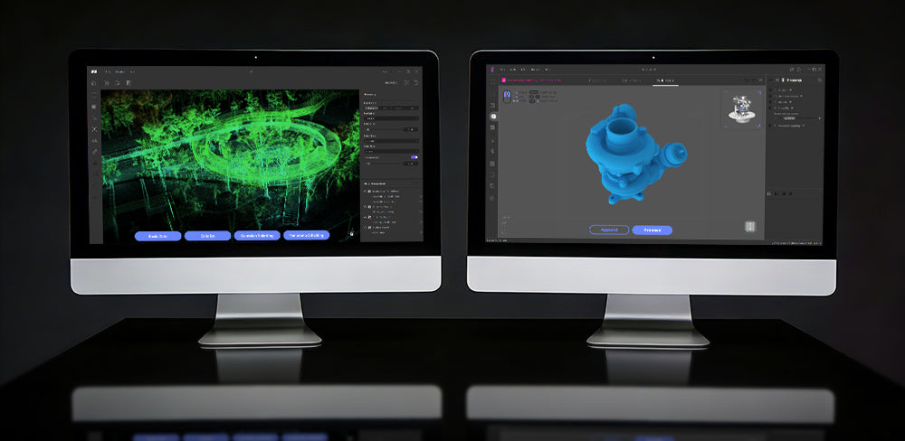
Every single time a laser pulse returns, the scanner records an exact X, Y, and Z coordinate in digital space. After a few minutes of scanning, millions of these coordinates are gathered. Together, this massive collection of data points creates a remarkably detailed, 3D digital silhouette of the real world—universally known as a “Point Cloud.”
Step 4: Stitching the Puzzle Together
Since lasers cannot see through solid walls, a scanner placed in the center of a room will leave "shadows" behind furniture or columns. To get a complete model, the operator must move the tripod to several different locations (stations) to capture the blind spots.
Once the fieldwork is done, intelligent software takes over. By analyzing the overlapping geometry between the different scans—recognizing the same corner of a room or the shape of a doorway—the software automatically aligns and stitches (registers) the separate Point Clouds together. Like assembling a massive 3D jigsaw puzzle, the result is one unified, millimeter-accurate digital replica of the entire site.
3. What is the Difference Between Stationary and Handheld LiDAR Scanners?
When exploring 3D capture technology, you will quickly encounter two primary types of devices: stationary scanners and handheld scanners. Since both are incredibly powerful tools used by professionals worldwide, understanding their fundamental differences, as well as their respective pros and cons, is key to knowing how the industry digitizes the real world.
The Stationary Scanner
As we discussed, a stationary scanner operates from a completely fixed position. The operator mounts the device securely onto a leveled tripod, presses start, and lets the internal mechanics rotate the laser 360 degrees.
The Pros: The absolute biggest advantage of a stationary scanner is uncompromising precision. Because the device is perfectly still during operation, there is zero motion blur or human-induced vibration. This allows it to capture millimeter-level accurate data, ultra-dense point clouds, and superior high-resolution HDR color imagery. It also boasts a much longer scanning range, easily reaching up to 100 meters.
The Cons: The main tradeoff is the time it takes to complete a project. Because a stationary scanner can only capture what is in its direct line of sight, the operator must physically pick up the tripod, move it to multiple different locations (stations) to capture blind spots, and wait a few minutes at each stop.
The Handheld Scanner
A handheld scanner is exactly what it sounds like—a highly portable, lightweight LiDAR device that you carry in your hand while physically walking through a space. Instead of staying still, it relies on a complex algorithm called SLAM (Simultaneous Localization and Mapping) to constantly track your footsteps and build the 3D model on the fly.
The Pros: Handheld scanners are the undisputed kings of speed and agility. You can simply walk through a building, climb staircases, and navigate tight, complex corridors, capturing data continuously without ever stopping to set up equipment. This drastically reduces the time spent on-site, making it perfect for rapid floor plan generation or scanning cramped utility rooms.
The Cons: Because the device relies on tracking human movement, minor calculation errors naturally occur as you walk, turn, or shake. Over very large areas, these microscopic errors can accumulate into a phenomenon known as “drift.” Consequently, the absolute dimensional accuracy is generally at the centimeter level rather than the millimeter level, and the color mapping quality usually cannot match the photorealism of a stationary camera.
Neither technology replaces the other. If you need to map a complex space as fast as humanly possible, you grab a handheld scanner. But if you are archiving a priceless heritage site, surveying a skyscraper facade, or working on an engineering project where a single millimeter of error is unacceptable, the stationary scanner is your ultimate tool.

4. The Core Advantages of Modern Stationary Scanners
In the early days, stationary scanners were massive, cumbersome beasts that required a PhD to operate and a supercomputer to process the data. Today, they have evolved into sleek, highly intelligent robotic sensors. Here are the core technological advantages that make modern stationary scanners so powerful:
(1) Exceptional Range (The Power of Optics)
Unlike consumer-grade depth sensors (like the one in your phone) that max out at a few meters, industrial stationary LiDAR systems are optical powerhouses. Thanks to highly focused laser beams with minimal divergence (meaning the laser dot stays tight and doesn't spread out over distance) and ultra-sensitive receivers, they can accurately capture minute details from incredibly far away. Depending on the model, they can measure surfaces from 60 meters up to 100 meters away in a single sweep. This allows operators to digitize the soaring ceilings of a cathedral or the top of a skyscraper without ever leaving the ground.
(2) HDR True-Color Capture (Colorizing the Point Cloud)
A raw laser scan only captures geometry—it looks like a ghostly, monochromatic matrix of dots. But modern scanners don't just capture shapes; they capture reality. Built directly into the scanner is a high-resolution, multi-lens camera system.
While the laser is spinning to measure distances, the cameras are rapidly taking panoramic photos using HDR (High Dynamic Range) technology. This ensures that the bright sunlight coming through a window isn't blown out, and the shadows in the corner aren’t pitch black. Once the scan is complete, the software perfectly overlays the 2D panoramic photo onto the 3D point cloud. It assigns an exact R, G, and B color value to every single laser point. In just about 6 minutes, you get a photorealistic, full-color digital twin of the environment.
(3) Edge Computing and App-Driven Operation
Perhaps the biggest leap in modern stationary scanners is their “brain.” You no longer need to drag a fragile laptop and a mess of cables to a construction site. Today’s scanners feature powerful onboard processors—a concept known as Edge Computing.
The scanner acts as its own Wi-Fi hotspot. You simply connect a standard iPad, tablet, or smartphone, open a dedicated App, and tap “Start.” The interface is as intuitive as a consumer smart-home app. Even better, as you move the scanner from station to station, the onboard brain is already pre-aligning and stitching the separate scans together in real-time. By the time you pack up the tripod, your fully assembled 3D model is already sitting on your tablet, ready to be shared with the world.
5. Real-World Applications: Where Are They Used?
The practical applications of stationary LiDAR scanners largely depend on their maximum scanning range. Rather than a one-size-fits-all approach, professionals choose specific equipment to perfectly match the scale and complexity of their environment.
(1) Long-Range Scanning for Expansive Environments
When tasked with digitizing massive, wide-open areas, professionals turn to long-range scanners. Taking a device capable of reaching 100 meters or more as an example, this extended reach allows the operator to capture a vast horizontal radius from a single ground setup. This significantly minimizes the time spent repositioning the tripod across massive sites. You will frequently see these robust scanners deployed at major transportation hubs, where they can efficiently map the sprawling platforms of high-speed rail stations or the sweeping, high-ceiling interiors of international airports. Beyond transit, this extended range is highly practical for surveying wide city plazas and large outdoor sports stadiums, seamlessly translating colossal physical spaces into precise digital formats with just a few strategic scan positions.
(2) Mid-to-Short-Range Scanning for Complex Indoor Spaces
Conversely, scanners optimized for medium to short distances are the preferred choice for enclosed, detail-rich environments. A device with a 60-meter range, for instance, provides more than enough coverage for most indoor architecture. To put that into perspective, 60 meters can easily span the entire length of an indoor basketball court from a single corner. In the realm of cultural heritage, these scanners are invaluable for creating millimeter-accurate digital archives of museums, perfectly preserving the geometry of historical interiors. They are equally critical in the commercial and residential sectors. Facility managers rely on them to map the intricate, multi-level layouts of large shopping malls, while interior designers use the resulting 3D floor plans to plan home renovations and precise furniture layouts. Even in visually confusing and structurally repetitive spaces, such as underground parking garages filled with concrete pillars, a mid-range stationary scanner ensures every geometric detail is captured flawlessly without getting lost in the dark.

6. A Sneak Peek: Meet the Owl LiDAR Scanner
As the demand for accessible and highly accurate 3D digitization grows, scanning hardware continues to evolve. To close out this guide, we are thrilled to give you an exclusive first look at the newest upcoming addition to our product lineup: the Owl LiDAR Scanner. The name was chosen for a very specific reason. Much like the bird's renowned sharp vision and 360-degree spatial awareness, this new stationary scanner is engineered to be a highly perceptive observer, designed to naturally capture complex physical environments with absolute clarity.
Currently, our engineering team is working hard behind closed doors to fine-tune the final hardware specifications. We can promise that something incredibly exciting is on the horizon. Keep an eye on our official channels for the full technical reveal and the official release date of the Owl LiDAR Scanner very soon!
Featured collection
LiDAR scanner
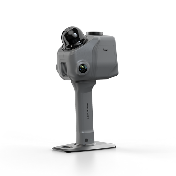
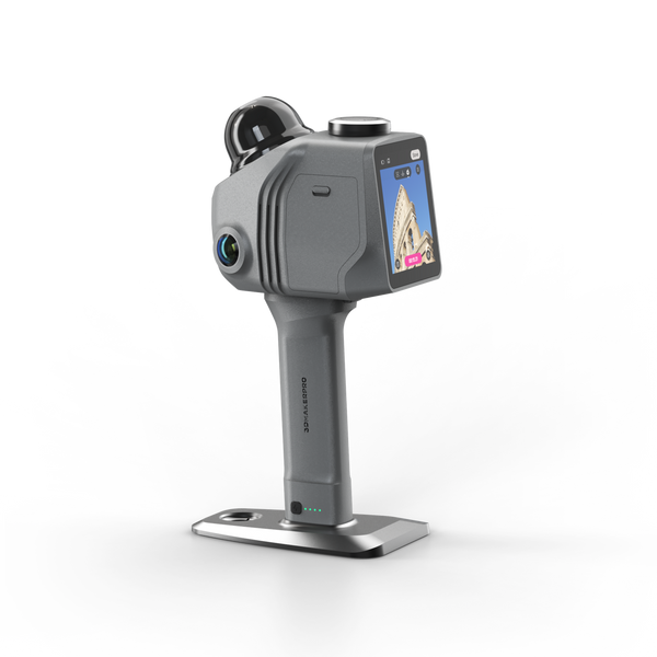
Raven LiDAR Scanner
LiDAR scanner
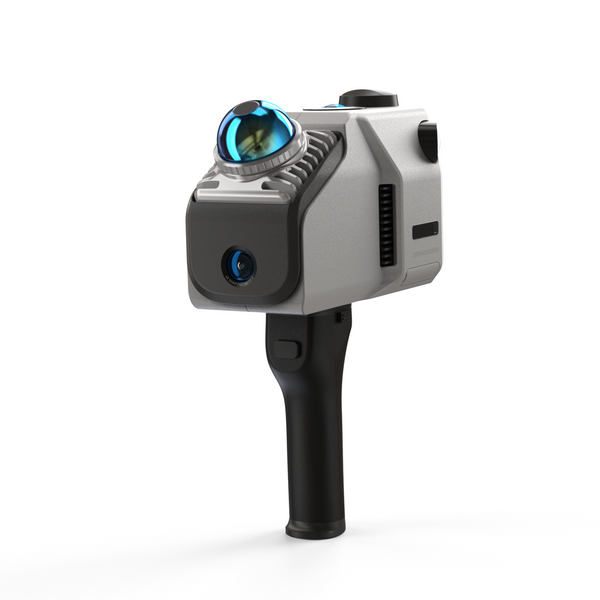
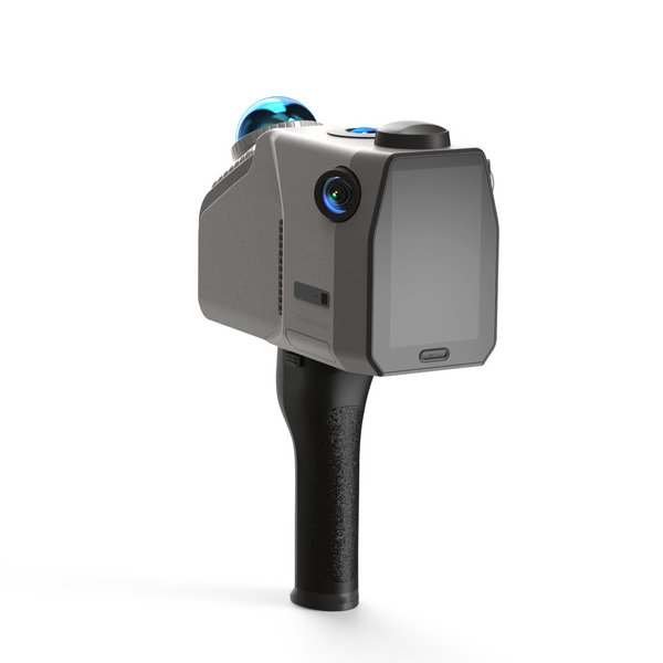
Eagle LiDAR Scanner


