Content
Introduction
Urban planning is a multifaceted discipline focused on the organized development of urban spaces to enhance residents' quality of life while promoting sustainable growth. As cities expand and evolve, urban planners face increasing challenges such as population density, infrastructure demands, environmental concerns, and the need for efficient resource management. One transformative technology in urban planning is Light Detection and Ranging (LiDAR), particularly exemplified by the Eagle LiDAR Scanner. This advanced tool offers high-resolution spatial data and a variety of features, enabling informed decision-making that shapes the future of urban environments.
Understanding LiDAR Technology
LiDAR utilizes laser pulses to measure distances between the sensor and the Earth's surface. By emitting rapid laser signals and recording the time it takes for these signals to return, LiDAR systems create detailed three-dimensional models of landscapes, structures, and vegetation. The Eagle LiDAR Scanner enhances this capability with its industry-leading 8K HDR ultra-clear image quality, thanks to its 1 or 4 48MP high-definition cameras. This feature provides rich, detailed, and accurately colored 3D data, making it ideal for applications requiring high resolution and exquisite image quality.

Applications of LiDAR in Urban Planning
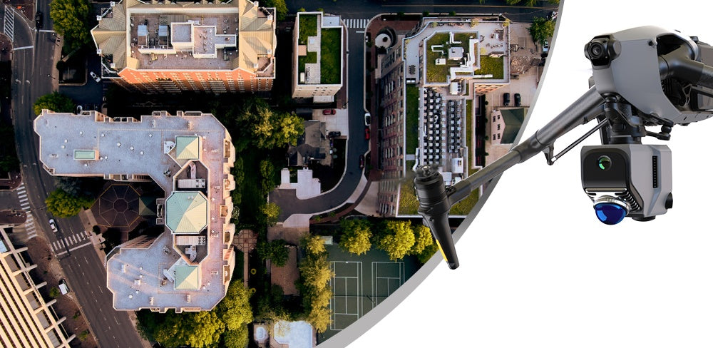
1. Topographic Mapping and Terrain Analysis
One of the primary applications of LiDAR in urban planning is the creation of accurate topographic maps. These maps provide essential information about elevation changes, slope gradients, and drainage patterns. The Eagle scanner supports an impressive accuracy of 2 cm at 10 m, ensuring data reliability and precision. Understanding terrain helps planners make informed decisions regarding land use, zoning, and infrastructure development, such as identifying flood-prone areas for effective mitigation strategies. By integrating this data, planners can optimize land allocation for residential, commercial, and recreational purposes.

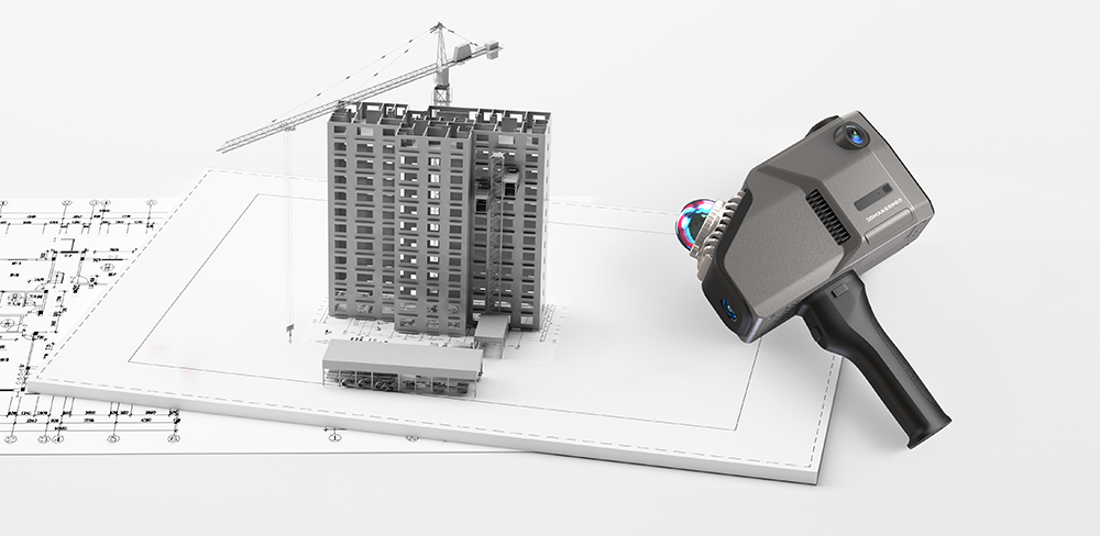
2. 3D City Modeling
LiDAR technology enables the creation of detailed 3D models of urban environments, representing buildings, roads, and other infrastructure. The Eagle scanner's ability to scan a large area (150 m x 150 m) in under five minutes significantly enhances work efficiency. Planners can utilize these models to simulate various scenarios, such as the impact of new developments or changes in land use. This capability aids in stakeholder communication, allowing residents and decision-makers to visualize proposed changes effectively and fostering community engagement in the planning process.
3. Infrastructure Planning and Maintenance
LiDAR data plays a critical role in assessing existing infrastructure, such as roads, bridges, and utilities. By conducting regular LiDAR surveys with the Eagle scanner, planners can monitor the condition of infrastructure over time, identifying areas that require maintenance or upgrades. This proactive approach not only extends the lifespan of infrastructure but also ensures public safety by addressing potential hazards before they escalate. Moreover, the Eagle scanner supports multi-format output, such as 3D Color Point Cloud (PLY), 3D Gaussian Splatting (PLY), 3D Colored Polygonal Model (OBJ), and 3D Panoramic Tour Data (OBJ), allowing easy integration into existing Geographic Information Systems (GIS), facilitating comprehensive infrastructure management.
4. Environmental Impact Assessment
Urban development often has significant environmental implications. LiDAR technology allows planners to conduct comprehensive environmental impact assessments by providing detailed data on vegetation cover, land use, and topography. The Eagle scanner's multi-format output, including color point clouds and panoramic images, enhances the evaluation of how proposed developments might affect local ecosystems, air and water quality, and biodiversity. Planners can then devise effective strategies to minimize negative impacts, promoting sustainable practices that align with environmental regulations and community values.

5. Transportation Planning
LiDAR enhances transportation planning by providing critical insights into traffic patterns and road conditions. Analyzing topographic data enables planners to design efficient transportation networks that ensure accessibility and connectivity for all users. The Eagle scanner's motion capture speed of up to 20 km/h allows for rapid assessments, making it easier to identify areas where pedestrian and cyclist infrastructure may be lacking. This data-driven approach not only promotes healthier and more sustainable modes of transportation but also helps reduce traffic congestion and improve air quality.

6. Disaster Preparedness and Resilience
Cities face a variety of natural disasters, including floods, earthquakes, and wildfires. LiDAR's ability to create detailed elevation models is invaluable for disaster preparedness and response planning. The Eagle scanner can identify vulnerable areas and assess risk factors, enabling urban planners to develop strategies that enhance resilience, such as designing effective flood control systems or establishing clear evacuation routes. Additionally, its capability to model complex indoor environments using SLAM technology ensures that emergency services can navigate multi-level structures effectively during crises.
7. Enhanced Positioning Accuracy with RTK Antenna & Signal Module
In addition to its core functionalities, the Eagle LiDAR Scanner can be paired with the RTK Antenna & Signal Module, significantly enhancing positioning accuracy through real-time differential correction. This accessory achieves absolute accuracy of point clouds within 1-3 cm, making it particularly valuable for surveying and design applications that require high precision. The RTK module requires a base station and can be calibrated using wireless communication on the L1 channel (1575.42 MHz) and the L2 channel (1227.60 MHz). This integration ensures that the data collected is not only rich in detail but also incredibly reliable.

Conclusion
LiDAR technology, particularly the Eagle LiDAR Scanner, is revolutionizing urban planning by providing high-resolution spatial data that enhances decision-making processes. Its diverse applications—from topographic mapping and infrastructure assessment to disaster preparedness and environmental impact evaluations—underscore its importance in shaping sustainable and resilient urban environments. As cities continue to evolve and confront new challenges, integrating LiDAR into urban planning practices, especially when enhanced by the RTK Antenna & Signal Module, will be essential for fostering effective, informed, and community-oriented development strategies. Embracing this innovative technology will empower planners to create vibrant, livable spaces that prioritize both people and the environment.

Featured collection
LiDAR scanner
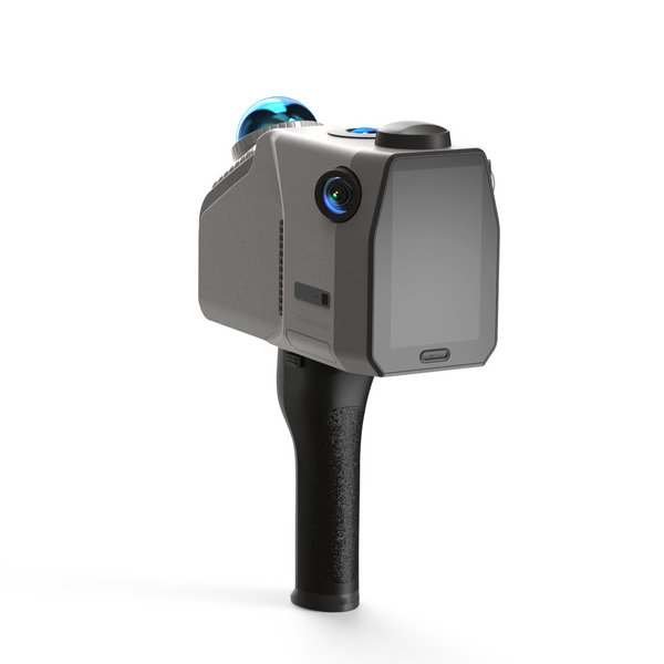
Eagle LiDAR Scanner
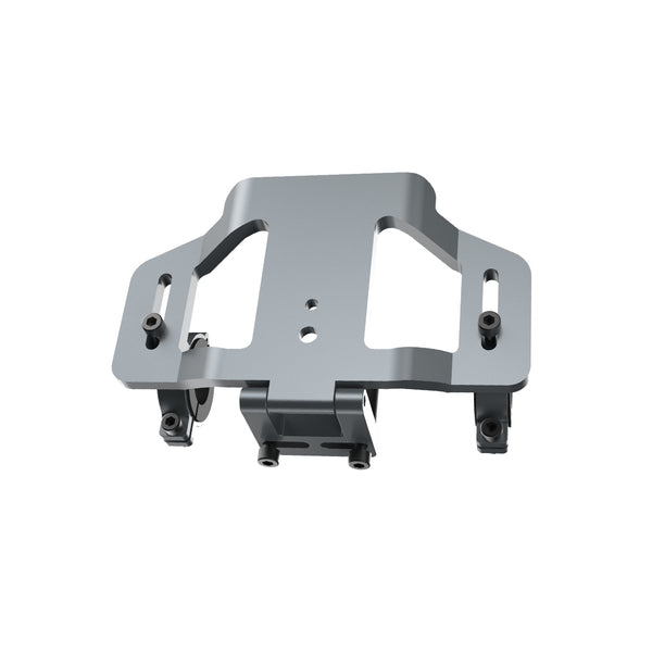
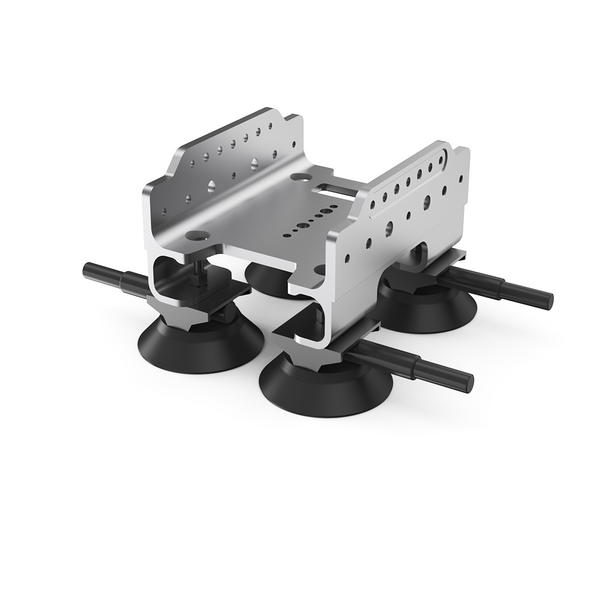
Bicycle Kit


