Contenido
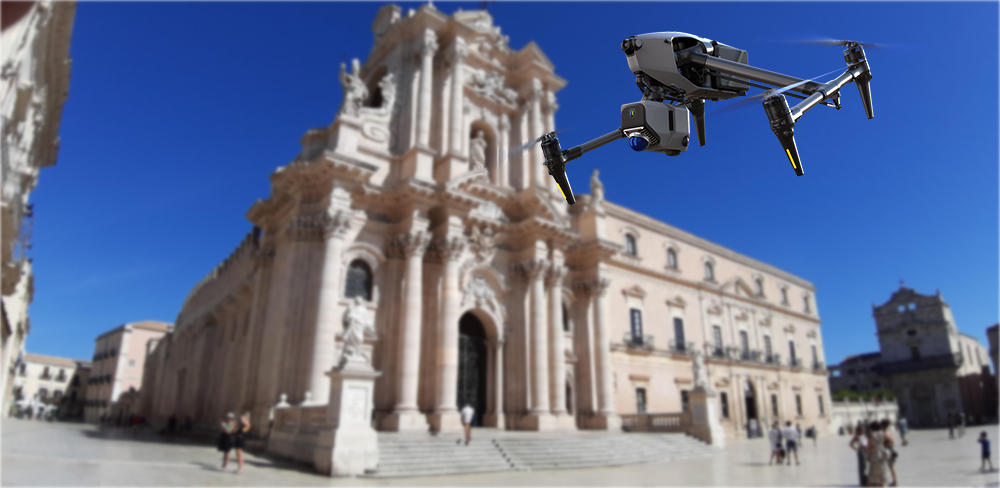
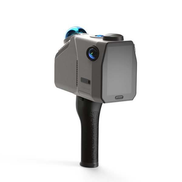
En los últimos años, la integración de la tecnología en la arquitectura paisajística ha transformado la forma en que los profesionales abordan el diseño, la planificación y la implementación. Entre los avances más significativos se encuentra el uso de la tecnología de escaneo 3D, en particular la Escáner LiDAR EagleEsta innovadora herramienta ofrece numerosas ventajas que mejoran la eficiencia, la precisión y la creatividad de los proyectos de arquitectura paisajística. A continuación, presentamos un resumen de cómo los escáneres 3D, especialmente el Eagle, están revolucionando el sector.
1. Mayor precisión y detalle
Una de las principales ventajas del escaneo 3D es su capacidad de capturar detalles intrincados de paisajes con una precisión notable. Escáner LiDAR Eagle Ofrece una impresionante precisión de 2 cm a 10 metros, lo que garantiza la fiabilidad de los datos recopilados para aplicaciones de diseño y topografía. Los métodos de topografía tradicionales pueden ser lentos y propensos a errores humanos. En cambio, el Eagle crea representaciones digitales de alta precisión del terreno, la vegetación y las estructuras existentes, capturando millones de puntos de datos en tan solo minutos. Este nivel de detalle permite a los arquitectos paisajistas tomar decisiones informadas y diseñar con confianza.

2. Eficiencia temporal
El escaneo 3D reduce significativamente el tiempo necesario para el análisis del sitio y la recopilación de datos. El Eagle puede escanear una escena extensa (150 m x 150 m) en menos de cinco minutos, lo que mejora drásticamente la eficiencia del trabajo. Lo que antes tomaba días o semanas ahora se puede lograr en mucho menos tiempo. Esta eficiencia no solo agiliza el proceso de diseño, sino que también permite a los arquitectos paisajistas dedicar más tiempo a los aspectos creativos de sus proyectos, lo que resulta en una finalización más rápida y una mayor satisfacción.
3. Visualización mejorada
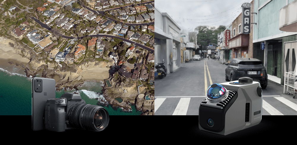
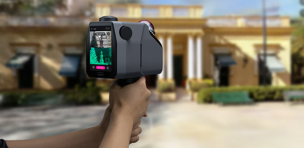
Los modelos digitales generados por escáneres 3D se pueden integrar sin problemas en varias plataformas de software para su visualización. Águila Las capacidades de imágenes panorámicas ultranítidas 8K HDR, impulsadas por su sistema de cámara de 48 MP, permiten a los arquitectos paisajistas crear renders realistas y simulaciones inmersivas. Estas imágenes de alta definición ayudan a los clientes a comprender los diseños propuestos de forma más intuitiva, lo que facilita la obtención de aprobaciones. Las visualizaciones interactivas, como las experiencias de realidad virtual, permiten a los clientes recorrer el proyecto antes de su construcción, lo que proporciona información valiosa y fomenta un proceso de diseño colaborativo.

4. Análisis exhaustivo
El escaneo 3D proporciona una gran cantidad de datos que pueden analizarse en función de diversos factores, como la topografía, la densidad de la vegetación y la hidrología. Las capacidades de escaneo del Eagle permiten un modelado ambiental eficaz mediante SLAM (Localización y Mapeo Simultáneos), lo que garantiza un modelado preciso de escenas complejas, incluso en espacios interiores complejos. Al aprovechar estos datos, los arquitectos paisajistas pueden desarrollar paisajes sostenibles y resilientes que se integren en su entorno, abordando desafíos como la erosión, las inundaciones y la pérdida de biodiversidad.
5. Mejor colaboración
Los modelos digitales creados mediante escaneo 3D facilitan una mejor comunicación entre los equipos de proyecto. Eagle permite la captura desde múltiples perspectivas, proporcionando perspectivas en primera persona, aéreas y de 45 grados. Esta flexibilidad garantiza que las operaciones de captura se puedan adaptar a diferentes entornos, lo que mejora la colaboración entre arquitectos, ingenieros y contratistas. Todos pueden acceder a los mismos datos y trabajar desde una plataforma unificada. Estudio Ray, minimizando malentendidos y errores, lo que conduce a una ejecución más fluida del proyecto.

6. Documentación y conservación
Para proyectos que involucran sitios históricos o entornos sensibles, el escaneo 3D es una herramienta invaluable para la documentación y la preservación. Admite múltiples formatos de salida (nube de puntos en color PLY, recorrido panorámico PNG+OBJ, salpicadura gaussiana PLY, etc.), lo que facilita el posprocesamiento y el análisis en diversas aplicaciones. Los escaneos detallados del Eagle proporcionan un registro permanente del paisaje, lo que respalda futuras iniciativas de restauración o conservación. Esta capacidad es particularmente importante en zonas donde los cambios pueden amenazar la integridad del medio ambiente, permitiendo a los arquitectos paisajistas promover la protección y la sostenibilidad.
7. Rentabilidad
Aunque la inversión inicial en tecnología de escaneo 3D pueda parecer elevada, el ahorro a largo plazo puede ser sustancial. La eficiencia del Eagle para reducir el tiempo dedicado al análisis de la obra y minimizar los errores durante la fase de diseño permite a los arquitectos paisajistas completar los proyectos de forma más eficiente y dentro del presupuesto. Además, la capacidad de visualizar y comunicar los diseños eficazmente puede resultar en menos revisiones costosas y órdenes de cambio, lo que mejora la viabilidad financiera de los proyectos. Sin embargo, Escáner LiDAR Eagle ya es más barato que otros escáneres espaciales del mercado y ofrece una mejor relación calidad-precio.

Conclusión
La integración de la tecnología de escaneo 3D, en particular el escáner Eagle LiDAR de 3DMakerproEn la arquitectura paisajística, no es solo una tendencia; es un enfoque transformador que mejora la precisión, la eficiencia y la colaboración. Con características como imágenes ultranítidas, alta precisión y capacidades integrales de escaneo, Eagle permite a los arquitectos paisajistas crear entornos sostenibles, funcionales y estéticamente agradables. Al aprovechar estas herramientas innovadoras, los profesionales pueden superar los límites del diseño, mejorar las relaciones con los clientes y servir mejor a sus comunidades, allanando el camino hacia un futuro más innovador y sostenible en la arquitectura paisajística.

Colección destacada
LiDAR scanner
Ahorra $800.00
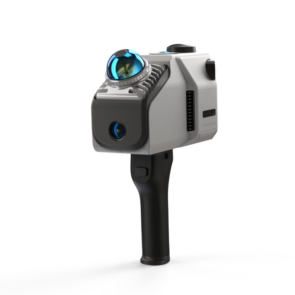
Escáner LiDAR Eagle
Módulo de señal y antena RTK


